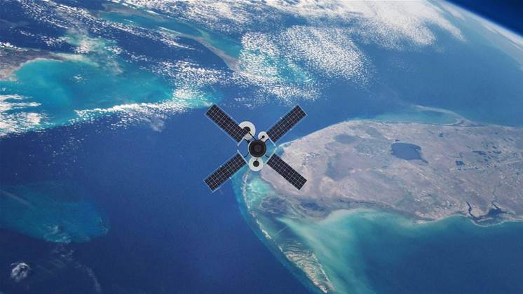
A new sensor array being developed at the University of New South Wales has piqued the Defence Force’s interest for its ability to passively use existing GPS signals to silently monitor everything from ships and infrastructure to the weather.

The sensor, developed by remote sensing specialist Professor Andrew Dempster and his colleagues, analyses satellite navigation signals reflected off hard objects and large bodies of water, regardless of cloud or tree cover.
Four generations have the sensors have been developed so far, with the latest, ‘Kea’, being launched into space aboard cubesats - cheap, miniature satellites weighing only 2kg and measuring 10cm x 10cm x 20cm.
“What we do is measure the delay from the satellite to surface and back to the receiver on the satellite,” Dempster said.
“Because there are multiple facets on ocean waves that it can reflect from, it means that we get a wider response in that delay from the different angles where the signals are reflected.
“The rougher the seas, the wider the response. We also measure the Doppler frequency shift in those reflected signals.”
Dempster said the resulting data could have a wide range of uses outside of defence, naming maritime companies, oceanographers, and wave power generation companies as potential users in the future.
“As an example of how it could be useful, gas companies often refuel their big tankers out at sea, which means safety can be compromised by weather conditions. So if you can refuel your ship for an extra half an hour because you have better knowledge of changes in sea state, then you can start putting a dollar value on what that time saving means to your company.”
The ambient signals also bounce off metallic structures like ships and power poles differently, providing extra intel to defence agencies without needing to send out their own radar ping that could be picked up by other agencies.
The sensors can also be deployed at different altitudes, which was how the power pylon was detected.
“Five years ago we took one of these receivers on a plane and flew it over a forest and recorded the raw signal and played it back through our new instrument,” Dempster said.
“As we flew over the forest, we were able to pick out a power pylon which would otherwise be hidden from view. This shows that infrastructure that stays hidden even in satellite images can now be detected.”
They could also be fitted to high altitude persistent systems (HAPS), which fly autonomously at around twice the altitude of regular aircraft, he said, which allows solar-powered system to avoid dangerous weather conditions lower down and stay aloft for months at a time.
The current Kea generation of receivers will continue to be refined over the coming months, with a view to consolidate the hardware needed to obtain, process and produce clear data.
“Currently we’re looking to keep the two receiver architecture for the instrument but in the medium term we’d like to develop a single board solution that does all the GNSS (Global Navigation Satellite System) work plus incorporate the control computer, data storage and communication functions.


.jpg&h=140&w=231&c=1&s=0)
_page-0001_(1).jpg&w=100&c=1&s=0)
 Integrate


